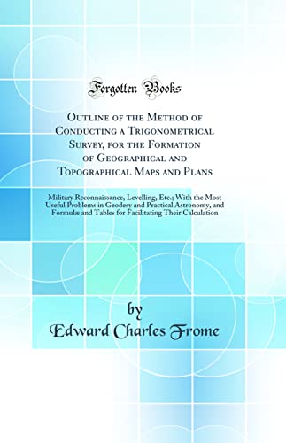
Outline of the Method of Conducting a Trigonometrical Survey, for the Formation of Geographical and Topographical Maps and Plans: Military Reconnaissance, Levelling, Etc.; With the Most Useful Problems in Geodesy and Practical Astronomy, and Formulæ and - Hardcover

Zu dieser ISBN ist aktuell kein Angebot verfügbar.
Alle Exemplare der Ausgabe mit dieser ISBN anzeigen:Excerpt from Outline of the Method of Conducting a Trigonometrical Survey, for the Formation of Geographical and Topographical Maps and Plans: Military Reconnaissance, Levelling, Etc.; With the Most Useful Problems in Geodesy and Practical Astronomy, and Formulæ and Tables for Facilitating Their Calculation
By an Altitude of the Sun, or a Star, out of the Meridian. The correct time of Observation being known.
By two observed Altitude. Of the Sun or a Star, and the interval of time between them; or the diference, or sum of their Azimuths.
About the Publisher
Forgotten Books publishes hundreds of thousands of rare and classic books. Find more at www.forgottenbooks.com
This book is a reproduction of an important historical work. Forgotten Books uses state-of-the-art technology to digitally reconstruct the work, preserving the original format whilst repairing imperfections present in the aged copy. In rare cases, an imperfection in the original, such as a blemish or missing page, may be replicated in our edition. We do, however, repair the vast majority of imperfections successfully; any imperfections that remain are intentionally left to preserve the state of such historical works.
Die Inhaltsangabe kann sich auf eine andere Ausgabe dieses Titels beziehen.
- VerlagForgotten Books
- Erscheinungsdatum2020
- ISBN 10 0364659289
- ISBN 13 9780364659281
- EinbandHardcover
- Anzahl der Seiten230
EUR 30,50
Versand:
EUR 45,00
Von Deutschland nach USA
Beste Suchergebnisse beim ZVAB
Outline of the Method of Conducting a Trigonometrical Survey, for the Formation of Geographical and Topographical Maps and Plans : Military Reconnaissance, Levelling, Etc.; With the Most Useful Problems in Geodesy and Practical Astronomy, and Formulæ and
Verlag:
Forgotten Books
(2018)
ISBN 10: 0364659289
ISBN 13: 9780364659281
Gebraucht
Hardcover
Anzahl: 1
Anbieter:
Bewertung
Buchbeschreibung Zustand: Wie neu. Zustand: Wie neu | Seiten: 232. Artikel-Nr. 31682764/1
Weitere Informationen zu diesem Verkäufer | Verkäufer kontaktieren
Gebraucht kaufen
EUR 30,50
Währung umrechnen

