Gesamtpreis (1 Artikel Artikel):
Versandziel:

cowperthwait desilver butler (1 Ergebnisse)
Direkt zu den wichtigsten Suchergebnissen
Produktart
- Alle Produktarten
- Bücher (1)
- Magazine & Zeitschriften
- Comics
- Noten
- Kunst, Grafik & Poster
- Fotografien
- Karten
-
Manuskripte &
Papierantiquitäten
Zustand
- Alle
- Neu
- Antiquarisch/Gebraucht
Einband
- alle Einbände
- Hardcover
- Softcover
Weitere Eigenschaften
- Erstausgabe
- Signiert
- Schutzumschlag
- Angebotsfoto
Land des Verkäufers
Verkäuferbewertung
-
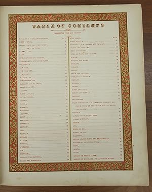
A New Universal Atlas: Empires, Kingdoms, States and Republics of the World. With a special Map of each of the United States, plans of Cities, &c.
Verlag: Cowperthwait, Desilver & Butler, Philadelphia, 1854
Anbieter: Attic Books (ABAC, ILAB), London, ON, Kanada
Bewertung:

Hardcover. Zustand: Good. 44 cm. 74 coloured numbered maps, No. 74 being the frontispiece showing mountains and rivers. 3 double-page maps: United States, State of New York, and Europe. Full-page city maps of New York, Philadelphia and Washington. Various state maps list steamboat routes. Some pages have insets. Title page vignette shows Columbus arriving in the New World. Contents in red with decorative red and gold border. Half burgundy leather with marbled paper boards, burgundy and gold label. Respined and corners repaired. Edge wear. Ink inscription from 1854 on a front page. Occasional foxing. Title continues: "Comprehended in seventy five sheets and forming a series of One Hundred and Twenty Nine Maps Plans and Sections." A better-than-average copy of a rare atlas, the focus of which is primarily the United States. First published by Augustus Mitchell in 1846, after he acquired the rights to Henry Schenk Tanner's "New Universal Atlas" from Carey & Hart. Mitchell changed many of the maps, changed the copperplates to lithographs and issued the atlas at least once a year until 1850 when he sold the rights to Thomas, Cowperthwait & Company. Afterwards the rights were bought and sold several times, the atlas being published until at least 1860.